Three Monongahela National Forest Trails Near Glady
Three of the Monongahela National Forest’s best trails meet near Glady, giving hikers, bikers and campers access to High Falls, Durbin and miles of West Virginia backcountry.
By KAY ESPOSITO
TRAVEL | TRAILS
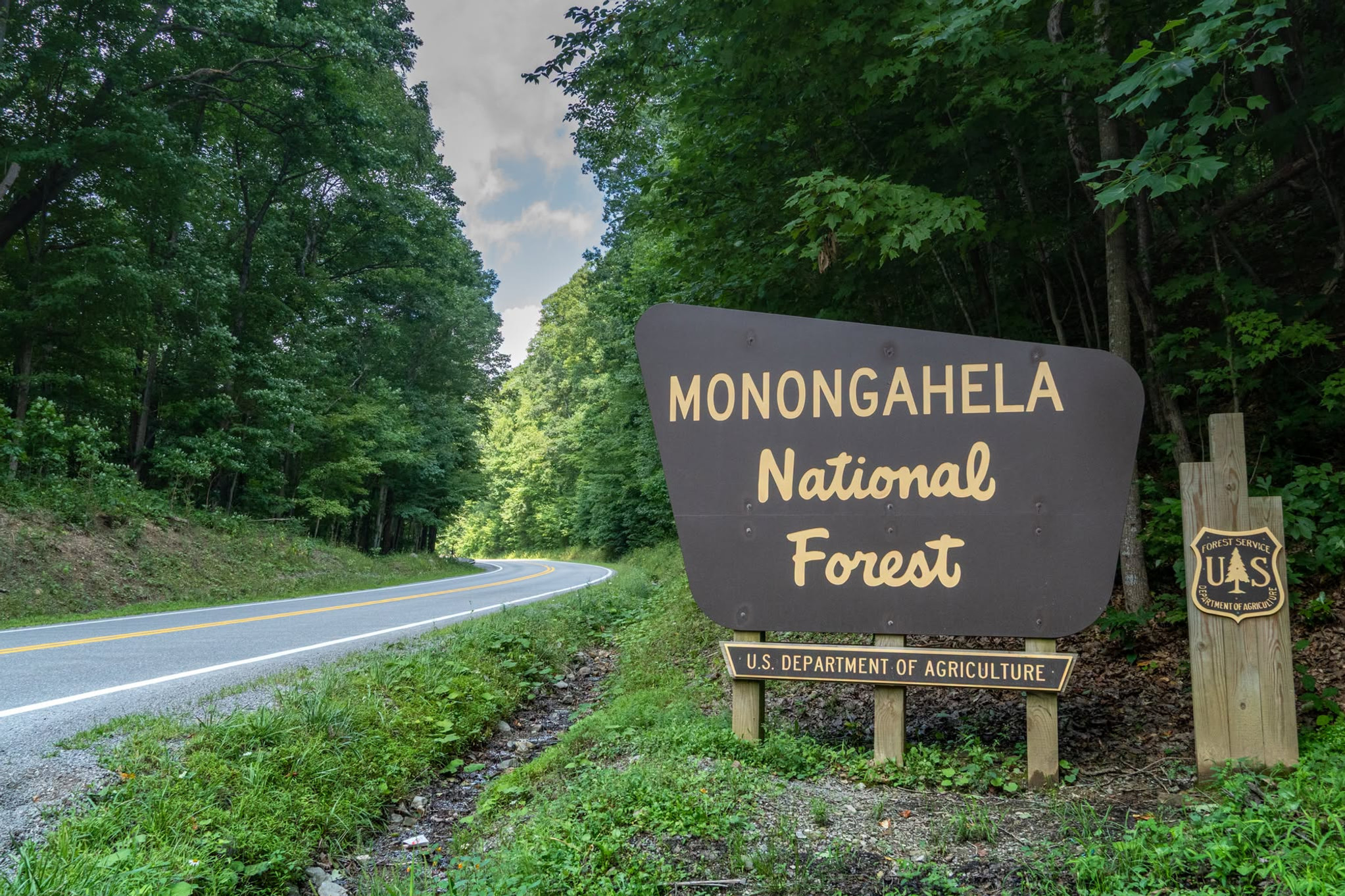
You could pick one trail and call it a day. Or, if you have the time, you could keep going. Near Glady in Randolph County, three trails come together in one of those spots that makes you want to stay outside a little longer. The Allegheny Trail, West Fork Rail Trail and High Falls Trail meet in the Monongahela National Forest, creating a network of options for hikers, bikers and campers.
A new kiosk at the trail intersection now makes it easier for visitors to figure out where they are going. The kiosk includes trail maps and local information and was supported by volunteers with the Allegheny Trail, the U.S. Forest Service and other partners.
For anyone unfamiliar with the area, the intersection is a good starting point for exploring several different parts of the forest. The Allegheny Trail, West Virginia’s longest hiking trail, runs through Glady and continues for miles beyond the intersection. Hikers can follow it for up to another 164 miles, eventually connecting with other trail systems, including the Appalachian Trail.
The West Fork Rail Trail offers a different kind of experience. From the intersection, the trail stretches more than 20 miles toward Durbin, following a former railroad corridor through the mountains.
Then there is the High Falls Trail. Follow it for about 7 miles and you will reach High Falls of Cheat, one of the more scenic destinations in this part of the forest. The waterfall sits along the Cheat River and gives hikers a worthwhile destination at the end of the trail.
The trails can also be reached from the High Falls trailhead on Forest Road 44, giving visitors another option for starting their day. What makes the area interesting is not necessarily one individual trail. It is how they fit together.

A hiker could spend a few hours on the High Falls Trail, plan a longer trip along the Allegheny Trail or combine sections of the trails for a much bigger adventure. Cyclists can use the West Fork Rail Trail, while campers can build an overnight trip around the network.
There is no single route visitors have to follow. That flexibility is part of what makes trail systems like this appealing. You can show up with a full-day plan or simply see where the trail takes you.
The Monongahela National Forest covers nearly a million acres across West Virginia and includes some of the state’s most popular outdoor destinations.
But some of the best experiences are found away from the busiest spots, where a trail map, a pair of boots and a few hours can be enough to turn an ordinary weekend into an adventure.
The Glady intersection is a good example. For first-time visitors, the new kiosk also provides something that can make a big difference in the woods: information.

Trail intersections can be confusing, particularly when several routes meet and continue in different directions. Having maps and local information available at the trailhead gives visitors a better idea of what they are getting into before they head out. It can also help people plan trips that match their time, experience and equipment.
Someone looking for a shorter outing can make High Falls the goal. Those ready for a longer trip can continue along the Allegheny Trail or head toward Durbin on the West Fork Rail Trail. And for those who want to turn the trip into a weekend, the combination of trails creates plenty of possibilities for camping and exploring.

The new kiosk is a relatively small addition, but it highlights something important about West Virginia’s outdoor recreation scene. Trails do not maintain themselves, and good information does not simply appear at the trailhead.
Volunteers, land managers and local partners all play a role in keeping these places accessible and useful for the people who visit them.
In Glady, their work has made an already interesting trail intersection a little easier to navigate. And once you look at the map, it is easy to see why the area deserves some attention.

Three trails meet here. One leads toward a waterfall. Another follows an old rail corridor for more than 20 miles. Another continues deep into West Virginia and toward other major trail systems. You can hike. You can bike. You can camp. Or you can just pick a direction and see what is around the next bend.
That is a pretty good way to spend a day in the Monongahela National Forest.
For more information, visit https://elkinsrandolphwv.com/

Monongahela National Forest


.png)